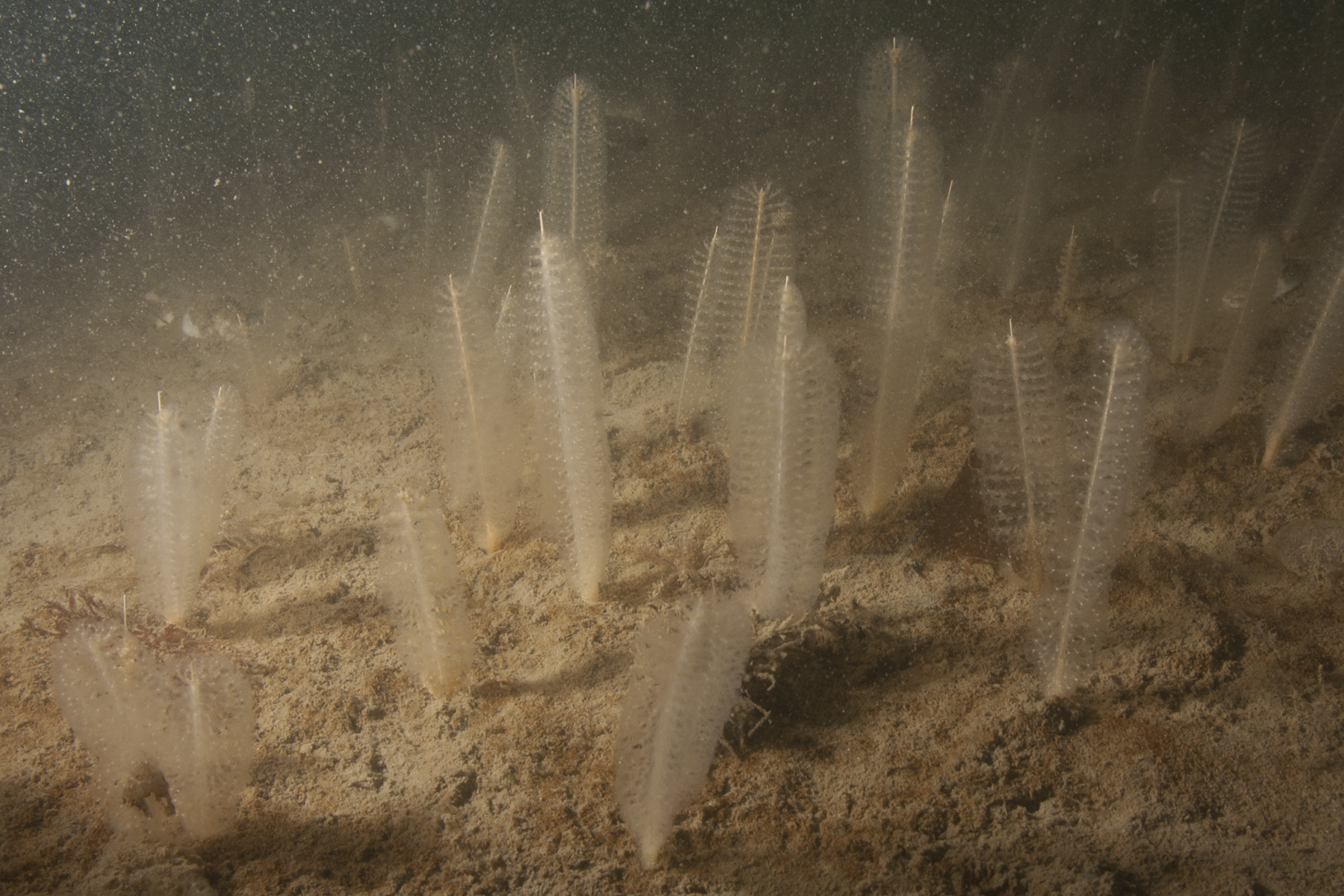
Carlingford Lough is a narrow and shallow sea lough that lies on the east coast of Ireland, located at the border of Northern Ireland and the Republic of Ireland. The MCZ is located off the northern shore and lies north of the navigation channel in the inner part of the Lough.

The MCZ has been designated as it supports the habitat Philine quadripartita (white lobe shell) and Virgularia mirabilis (sea-pen) in soft stable infralittoral mud. This habitat is only present in Carlingford Lough; individual records of P. quadripartita and V. mirabilis occur throughout Northern Ireland. P. quadripartita and V. mirabilis occur in high densities within the MCZ and this habitat is thought to be a temporal variant of other sublittoral cohesive mud and sandy mud communities.
Area: 3.23km2
Location (centroid): 54° 05.291’ N 6° 12.893’ W
Date Classified: 12/12/2016
Related articles
- Appointment of Deputy Chair and up to 16 Board Members to the Council for Nature Conservation and the Countryside (CNCC)
- ASSI Guidance for Public Bodies/Competent Authorities
- Coastal Areas of Special Scientific Interest
- Conservation and protection enforcement programme
- Conservation Management Plans (CMPs)
- Ecological Surveys
- European Marine Sites - Marine Special Areas of Conservation and Special Protection Areas
- Financial administrative penalties
- Fishing licence points system for serious infringements of the enforcement programme
- Introduction to Conservation Management Plans (CMPs) for Northern Ireland’s Special Areas of Conservation
- Mandatory recording of marine mammal bycatch
- Marine Conservation Zones
- Marine historic environment
- Marine Protected Areas
- Marine Ramsar sites
- Monitoring marine habitats and species
- NI CHART Bluefin Tuna
- Outline Construction Environmental Management Plan (CEMP)
- Portrush Coastal Zone
- Shipwrecks
- Special Areas of Conservation
- Special Areas of Conservation for Harbour porpoise
- Special Protection Areas
