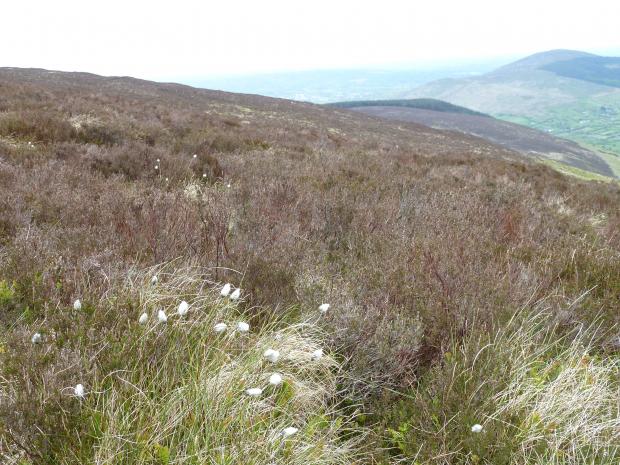
Slieve Gullion is a compact upland formed by volcanic activity in Tertiary times, some 60 million years ago. It is situated in south Armagh about 5 miles southwest of Newry, and at a height of 573m, it represents a prominent landscape feature. The area is important geologically, representing the finest example of a Tertiary igneous centre in Ireland and it is also among the best topographic expressions of a ring-dyke system in the British Isles.
Slieve Gullion SAC supports a range of upland habitats and associated transitional communities, especially to the north of the site, where the upland heath grades downslope into lowland heaths, acid grasslands and basin fens.
Related articles
- ASSI Guidance for Public Bodies/Competent Authorities
- Coastal Areas of Special Scientific Interest
- Conservation Management Plans (CMPs)
- European Marine Sites - Marine Special Areas of Conservation and Special Protection Areas
- Introduction to Conservation Management Plans (CMPs) for Northern Ireland’s Special Areas of Conservation
- Marine Conservation Zones
- Marine Protected Areas
- Marine Ramsar sites
- Portrush Coastal Zone
- Special Areas of Conservation
- Special Areas of Conservation for Harbour porpoise
- Special Protection Areas
