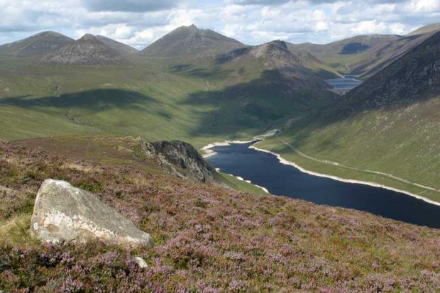
The Eastern Mournes consists of a compact range of mountains forming the highest ground in Northern Ireland. They are situated in the south-east of the Province in County Down, just west of Newcastle. Within the Mountain range, 12 peaks extend to over 600m, with Slieve Donard rising to 852m. The area is important geologically representing the largest outcrop of Tertiary granites in the British Isles covering some 150 sq. km. The Eastern Mournes host three distinct granite types with associated mineralogies.
The Eastern Mournes SAC has a unique combination of upland habitats and associated vegetation communities including the largest extent of European dry heaths in Northern Ireland. This is mostly of the Calluna/Erica cinerea type, but includes Ulex gallii/Erica cinerea dry heath on the lower slopes. The dominance of Erica cinerea is a notable feature of the area and characteristic of dry heath in the oceanic climate of more western parts of the UK. The area supports a number of other vegetation communities including wet heaths and blanket bog, montane heaths and grasslands on the highest summits and plant communities associated with the cliffs and scree.
Related articles
- ASSI Guidance for Public Bodies/Competent Authorities
- Coastal Areas of Special Scientific Interest
- Conservation Management Plans (CMPs)
- European Marine Sites - Marine Special Areas of Conservation and Special Protection Areas
- Introduction to Conservation Management Plans (CMPs) for Northern Ireland’s Special Areas of Conservation
- Marine Conservation Zones
- Marine Protected Areas
- Marine Ramsar sites
- Special Areas of Conservation
- Special Areas of Conservation for Harbour porpoise
- Special Protection Areas
