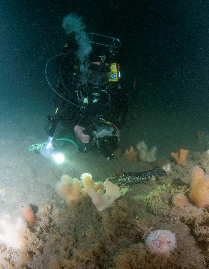
Skerries and Causeway SAC is a 30km wide embayment on the North Coast of Northern Ireland comprising an area of 10,862ha. The site is bordering the coastline, which the towns of Portrush, Portstewart, Bushmills and the Giants Causeway World Heritage site reside. Within the SAC lies the Skerries Islands, located off Portrush.
The marine habitats of the SAC are influenced by the warm Gulf Stream and strong currents which run through the North Channel, to which the SAC is exposed. The site is highly exposed to wave action as a result of its location, and regions of the SAC also experience a significant freshwater influence with large influxes from the River Bann and the River Bush.
Skerries and Causeway was designated an SAC on the following features: reef, sandbanks slightly covered by seawater at all times, submerged or partially submerged sea caves and harbour porpoise.
The reefs of Skerries and Causeway SAC is sand scoured by the nearby sedimentary habitats, and supports rare and priority species. The sandbank habitats have eelgrass communities and in some regions are comprised of large banks, up to 30m high. Harbour porpoises are residents of the Skerries and Causeway SAC throughout the year. The Skerries islands within the SAC boundary are a breeding habitat for seabirds and also provide shelter to a bed of eel grass Zostera marina. The associated subtidal habitats are known to support species which normally only occur in more southern areas, because of the increased temperatures produced by the Gulf Stream.
Related articles
- ASSI Guidance for Public Bodies/Competent Authorities
- Coastal Areas of Special Scientific Interest
- Conservation Management Plans (CMPs)
- European Marine Sites - Marine Special Areas of Conservation and Special Protection Areas
- International Year of the Salmon 2019
- Introduction to Conservation Management Plans (CMPs) for Northern Ireland’s Special Areas of Conservation
- Marine Conservation Zones
- Marine historic environment
- Marine Protected Areas
- Marine Ramsar sites
- Monitoring marine habitats and species
- Movanagher Fish Farm
- Portrush Coastal Zone
- River Bush Salmon Station
- Salmon Conservation
- Shipwrecks
- Special Areas of Conservation
- Special Areas of Conservation for Harbour porpoise
- Special Protection Areas
