Situated on the east coast of Northern Ireland, Strangford Lough is a large shallow sea lough with an indented shoreline and a wide variety of marine and intertidal habitats. The west shore has numerous islands typical of flooded drumlin topography.
The Lough contains extensive areas of mudflat and also sandflats, saltmarsh and rocky coastline. This is Northern Ireland’s most important coastal site for wintering waterfowl, and it is particularly important for breeding terns.
The landward boundary of the Special Protection Area (SPA) is entirely coincident with the landward boundary of the following five ASSIs:
Strangford Lough Part 1, Strangford Lough Part 2, Strangford Lough Part 3, Killard and Ballyquintin Point. Marine areas below mean low water are also included such as the Quoile Pondage nature reserve.
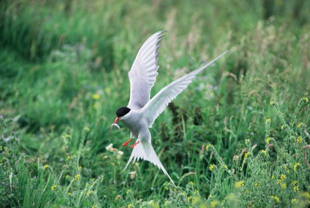
The site qualifies under Article 4.1 of EC Directive 79/409 on the Conservation of Wild Birds by supporting internationally important breeding populations of both sandwich and common tern and nationally important breeding populations of arctic tern.

Also under Article 4.2 of the Directive by regularily supporting in winter over 20,000 waterfowl, which includes the internationally important species light-bellied brent geese, knot and redshank. Nationally important species contribute to the overall population of over-wintering waterfowl including species such as, bar-tailed godwit, black-tailed godwit, coot, curlew, dunlin, eider, gadwall, great-crested grebe, greylag goose, greenshank, goldeneye, golden plover, grey plover, lapwing, mallard, mute swan, oystercatcher, pintail, red-breasted merganser, ringed plover, shelduck, shoveler, teal, turnstone and wigeon.
Related articles
- Appointment of Deputy Chair and up to 16 Board Members to the Council for Nature Conservation and the Countryside (CNCC)
- ASSI Guidance for Public Bodies/Competent Authorities
- Coastal Areas of Special Scientific Interest
- Conservation and protection enforcement programme
- Conservation Management Plans (CMPs)
- Ecological Surveys
- European Marine Sites - Marine Special Areas of Conservation and Special Protection Areas
- Financial administrative penalties
- Fishing licence points system for serious infringements of the enforcement programme
- Introduction to Conservation Management Plans (CMPs) for Northern Ireland’s Special Areas of Conservation
- Mandatory recording of marine mammal bycatch
- Marine Conservation Zones
- Marine historic environment
- Marine Protected Areas
- Marine Ramsar sites
- Monitoring marine habitats and species
- NI CHART Bluefin Tuna
- Outline Construction Environmental Management Plan (CEMP)
- Shipwrecks
- Special Areas of Conservation
- Special Areas of Conservation for Harbour porpoise
- Special Protection Areas
