The 2nd Northern Ireland Countryside Survey
The 2nd NI Countryside Survey was based on research carried out under contract to Environment and Heritage Service (DoENI) and was co-funded by the University of Ulster.
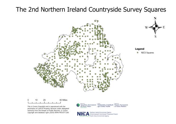
The aim was to resurvey all 628 squares of the NI Countryside Survey baseline to determine new estimates of the area and changes in habitats and field boundaries. This was linked to the Countryside Survey 2000 in Great Britain with the aim of producing a UK wide picture of land cover and habitat distribution.
Survey Design
The sample squares from the 1st NI Countryside Survey were re-surveyed in 1998 using the same methods. The field boundary classification was revised, and additional data was recorded to facilitate comparison with the Countryside Survey 2000 of Great Britain. NI Habitat definitions (Primary Habitats) were supplemented with data from the grassland and the upland heath and mire quadrat surveys (1993-94), however the quadrat survey was not repeated. To facilitate habitat comparison at a UK scale, the Primary Habitat data was aggregated into Broad Habitats, a classification developed for the UK Biodiversity Action Plan.
Field mapping was carried out without reference to the baseline data, except that land cover outlines and the location of field boundaries were provided for the field surveyors. A portable satellite-based GPS was used to map habitats in the uplands. After mapping was completed, records were compared in the field with the baseline data. An independent quality assurance was also implemented by the Centre for Ecology and Hydrology.
Results and Key Findings
The results showed that semi-natural habitats in NI had declined, with a corresponding increase in agricultural habitats, buildings and roads. It also showed that natural field boundaries such as hedges and earth banks were declining, and the amount of fencing had increased.
The habitat change data presented in the 2nd NI Countryside Survey provided an ecological context for government and public discussion about landscape-scale biodiversity and sustainable development. It also provided definitive and crucial information in a number of key policy areas, especially in relation to biodiversity, sustainable agriculture, environmental pollution and climate change.

Figure 1 - Peat cutting
The results revealed that NI (representing 6% of the UK land area) had 29% of the UK Neutral Grassland and 9% of the UK Fen, Marsh~Swamp Broad Habitats. This emphasised the importance of NI biodiversity in a UK context. The main changes in NI Broad Habitats in the 1990s were a 33% increase in the area of Improved Grassland, a 32% decrease in the area of Neutral Grassland and a 25% decrease in the area of Arable and Horticulture habitats. These changes were of a similar proportional magnitude to changes in the Highlands of Scotland. NI also had 13% of the UK field boundary resource. In England & Wales, decline in field boundaries had slowed, but in NI there was a 4.5% loss of Hedges and a 10% loss of Earth banks.
Estimates of Broad Habitat change highlighted the loss of semi-natural habitats and field boundaries as being a major biodiversity issue. They also indicated the potential for landscape scale agri-environment and sustainable forestry measures to deliver biodiversity gains through habitat protection and controls on the intensity of land use.

Figure 2 - Main turnover of UK Biodiversity Action Plan Broad Habitats between 1987/91 and 1998. Transfers >8000ha or >5% of the baseline stock are shown.


Further information
Further information on the NI Countryside Survey methodology and history, as well as other reports can be found in the links below.
Northern Ireland Countryside Survey
The 1st Northern Ireland Countryside Survey
The 3rd Northern Ireland Countryside Survey
The 4th Northern Ireland Countryside Survey
Publications
NI Countryside Survey Publications
Any queries relating to NI Countryside Survey should be directed to EFS.MEF@daera-ni.gov.uk