The 3rd Northern Ireland Countryside Survey
In 2005, the University of Ulster was contracted by the NI Environment Agency to initiate work on the 3rd NI Countryside Survey.
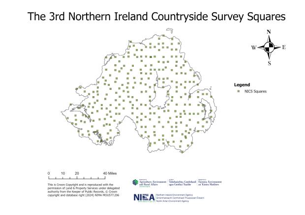
Survey Design
Methods similar to those from the 2nd Countryside Survey were developed, but this time more detailed field attributes were recorded to enable reporting on habitat condition and other habitat classification types, e.g. Priority Habitats. To enable more detailed recording in the field, an optimised sample of 0.5% of the NI land area was used, resulting in 288 sample squares. Quadrat surveys were also carried out to supplement the habitat attribute data with a further assessment of species composition.

Results and Key Findings
Field boundary length estimates were compared between the 2nd and 3rd NI Countryside Survey in the Field Boundaries Summary report (McCann et al., 2012). Transition estimates (losses and gains) between the different types of field boundary were provided.

Species-rich dry grassland S01 – 30.6% decline between 1998 and 2007 (Cooper et al., 2009)
Changes were presented at the Primary Habitat level as well as Broad Habitat level. Whilst Broad Habitat reporting was a useful classification of habitats for reporting purposes, more detailed exploration of the results was possible using the Primary Habitat information, which was the classification used in the field recording.
The main findings were:
- Continued semi-natural habitat loss, as was recorded in 1998, but at a lower rate.
- Agricultural land use and rural building continued to be the main processes resulting in habitat loss.
- Scrub/woodland succession in open habitats was much greater.
- Trends to a smaller area of arable crops and to more broadleaf tree planting on agricultural grassland continued.
- Damage to bogs from peat cutting was minor and there was evidence of a reduced grazing pressure in some heath and bog habitats.


An independent exercise to investigate the reliability of the NI Countryside Survey methods was carried out. This revealed that there were no significant issues and a high level of methodological consistency.
Further information
Further information on the NI Countryside Survey methodology and history, as well as other reports can be found in the links below.
Northern Ireland Countryside Survey
The 1st Northern Ireland Countryside Survey
The 2nd Northern Ireland Countryside Survey
The 4th Northern Ireland Countryside Survey
Publications
NI Countryside Survey Publications
Any queries relating to NI Countryside Survey should be directed to EFS.MEF@daera-ni.gov.uk